
Southwest Louisiana Live Flooding Information
Below you will find a live flooding information map as well as a feed from the National Weather Service for areas in Southwest Louisiana including Lake Charles, Sulphur, Carlyss, Iowa, Vinton, Moss Bluff and other surrounding areas.
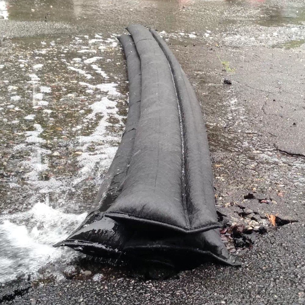
If you encounter flooding conditions Turn Around Don’t Drown.
Southwest Louisiana Live Flood, River Level, and River Flow Map
The map below shows live flooding information for Southwest Louisiana as well as weather radar. The live flooding information is generated from combining weather conditions, flow and level gauges in rivers, drainage canals, and low lying areas, as well as indicators from posts on social media sites.
You can see the map key, map view options, as well as more information about the map by using the hamburger menu (3 horizontal lines) on the top left of the map.
Weather Conditions and Forecast
[shortcode-weather-atlas city_selector=2356454 layout=”horizontal” sunrise_sunset=0 daily=5]
Vinton I-10 Westbound Right Lane Closure Scheduled March 31-April 1
Vinton, Louisiana – The Louisiana Department of Transportation and Development has announced an overnight lane closure on Interstate 10 westbound in Vinton for roadway maintenance. According to the agency, the right lane of I-10 westbound will be closed from Coone…
Lake Charles And Westlake I-10 Shoulder Closures Scheduled Through April 22, 2026
LAKE CHARLES, La. — The Louisiana Department of Transportation and Development has announced multiple singular shoulder closures along Interstate 10 in both directions between mile marker 25 in Westlake and mile marker 31 in Lake Charles from Sunday, March 22, 2026,…
Sulphur Drivers Advised Of March 16-20 Lane Closures At Beglis Pkwy Intersection
SULPHUR, LA. — The Louisiana Department of Transportation and Development, or DOTD, said alternating lane closures are scheduled to begin Monday, March 16, 2026, at the intersection of E Burton Street and North Beglis Parkway in Sulphur as crews perform milling and…