Winter Storm System Threatens Lake Charles and Southwest Louisiana with Severe Weather, Sharp Temperature Drop
Lake Charles, Louisiana - Lake Charles and Southwest Louisiana residents are advised to prepare for severe weather conditions as a powerful storm system approaches Southeast Texas and Southwest Louisiana today.
The storm is expected in the area of Southwest Louisiana between 3 pm and 7 pm. As of the latest forecast, the storm is predicted to likely reach Western Calcasieu Parish at 4 pm, and Lake Charles at 5:15 pm.
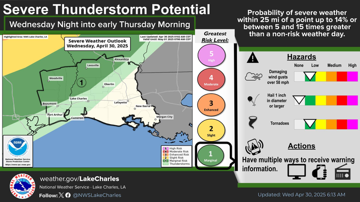
The National Weather Service has placed Lake Charles under a Slight Risk category for severe weather, marking it as a level 2 on their 5-point severity scale. The weather system is expected to bring scattered thunderstorms and a squall line associated with an advancing cold front.
Meteorologists are particularly concerned about three primary threats during the afternoon and evening hours. Damaging winds exceeding 58 mph pose a slight risk to the region, while hail measuring one inch or larger could potentially impact properties and vehicles. A marginal risk of tornadoes has also been identified for the area.
The most critical time frame for severe weather in Calcasieu Parish and Lake Charles will be between 3:00 PM and 7:00 PM. Residents should remain weather-aware during these hours and have multiple ways to receive weather alerts.
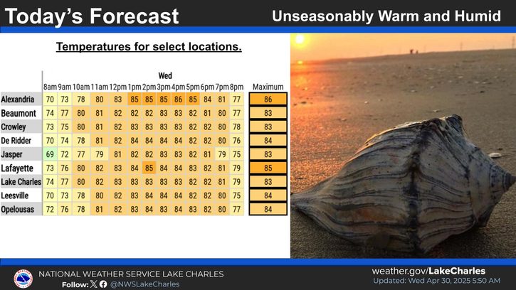
The approaching system will be followed by a dramatic temperature change, with forecasters predicting a sharp drop into the mid-30s and 40s within hours after the storm's passage. This rapid cooling could create additional hazardous conditions for residents and travelers.
Local emergency management officials recommend that residents secure outdoor items, park vehicles under cover when possible, and stay informed.
Severe Weather Outlook for Southwest Louisiana
Southwest Louisiana Most Likely Time for Severe Weather
Southwest Louisiana Temperature Forecast by Time of Day January 5-10