Lake Charles, Louisiana – A significant severe weather outbreak is anticipated across the Deep South this Saturday, with a particular focus on the potential for large and violent tornadoes. Meteorologists are urging residents to remain vigilant throughout the day, as the conditions for severe storms will develop as morning progresses.
The formation of supercell storms is expected to occur rapidly after the Sun rises on Saturday morning. These storms, characterized by their rotating updrafts, can lead to severe weather incidents, including tornadoes. While the risk of a tornado directly impacting an individual home remains low, residents are advised to stay alert and prepared for rapidly changing weather conditions.
Eastern and central Louisiana are currently identified as areas with a higher likelihood of experiencing severe weather. In contrast, the western part of the state, including Calcasieu Parish and the surrounding regions of Southwest Louisiana, is considered to have a lower risk. Nevertheless, officials emphasize that residents in these areas should not let their guard down, as severe weather can still occur.
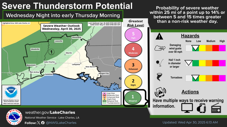
The National Weather Service has issued a Marginal Risk classification for severe storms in Southwest Louisiana. This means that isolated severe weather incidents are possible, though not guaranteed. Furthermore, additional rounds of showers and thunderstorms are expected to move in late Friday into Saturday morning, with an overall Marginal to Enhanced Risk of severe storms.
Once the cold front passes through the region on Saturday, residents can expect a shift in weather patterns, bringing cooler and drier air for the following days. This transition will provide a temporary reprieve from the turbulent conditions expected on Saturday.
Residents are encouraged to stay informed through local weather updates and alerts and to have emergency plans in place should severe weather develop in their area. Preparedness is key as the Deep South braces for a day of potentially dangerous weather.