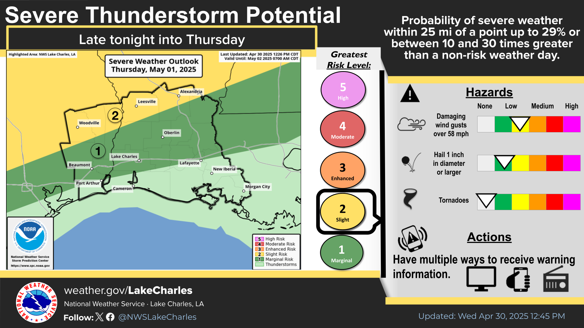
Lake Charles, Louisiana - A cold front is expected to move through the region this evening and continue into tomorrow morning, bringing isolated to scattered showers and thunderstorms to Louisiana and Southeast Texas. The National Weather Service in Lake Charles has placed parts of the region under a Marginal Risk (level 1 of 5) for severe weather, indicating the potential for hazardous conditions despite relatively low probabilities.
The National Weather Service reports that storms will begin organizing into a squall line over North Louisiana tonight before moving southward by sunrise. While not expected to be widespread, individual storm cells could produce multiple severe weather hazards.
All modes of severe weather will be possible with these storms. This includes the potential for damaging winds and hail, particularly with stronger cells within the developing line of storms.
Residents of Acadiana should be particularly vigilant tomorrow morning as the storm system is projected to reach that area with continued potential for severe conditions.
In addition to the severe weather threat, portions of central Louisiana face a Marginal Risk (level 1 of 4) for Excessive Rainfall tonight. Although general rainfall amounts are expected to remain under one inch throughout the region, localized heavy downpours could occur within stronger storms.
Storms will be capable of producing localized heavy downpours which could lead to flash flooding. Those in flood-prone areas should monitor conditions.
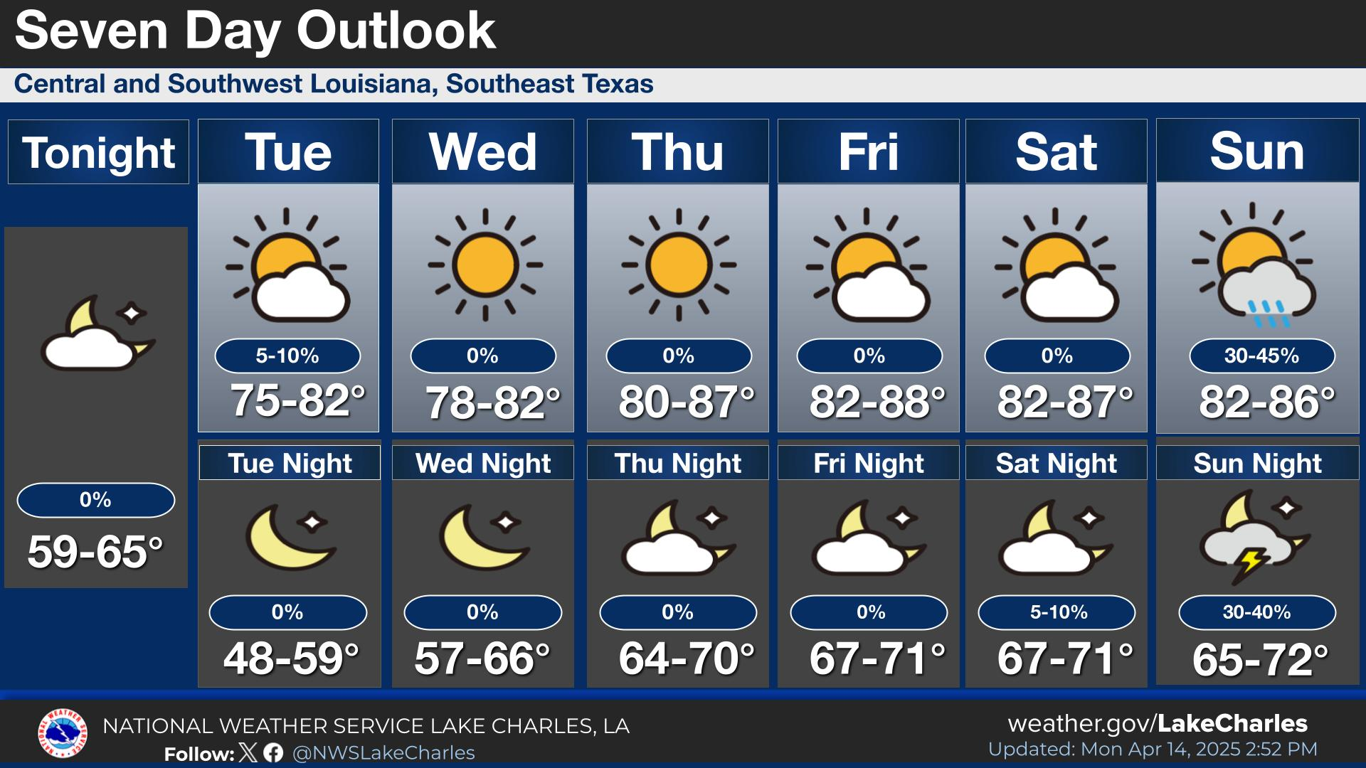
The weather system is expected to clear by midday tomorrow as drier air moves into the region behind the front. Forecasters predict the end of storm activity by noon, followed by warm and dry conditions through the middle of the week.