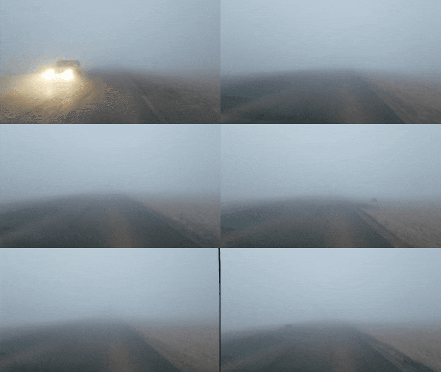
Calcasieu Parish, Louisiana – Calcasieu Parish residents should prepare for another round of patchy dense fog Monday night into early Tuesday morning as persistent weather patterns continue to bring above normal temperatures and high humidity to the region.
The dense fog is expected to develop overnight, potentially reducing visibility for morning commuters on Tuesday. Motorists traveling during early morning hours should allow extra time for their commute.
Above normal temperatures will continue to dominate the forecast through the middle of the week, accompanied by high humidity levels that may make conditions feel even warmer than actual temperatures indicate. This weather pattern has become established across the area and shows little sign of breaking down until later in the week.
The persistent pattern bringing the warm and humid conditions is expected to remain in place until Thursday, when precipitation chances return to the forecast. A cold front is forecast to move through Calcasieu Parish and surrounding areas late in the week, bringing the potential for rain ahead of its passage.
The approaching cold front on Thursday represents a shift in the weather pattern that has kept conditions unseasonably warm and muggy.
Until the cold front arrives, the combination of above-normal temperatures and high humidity will continue to characterize daily weather conditions across the region. The patchy nature of the dense fog means visibility may vary significantly over short distances, with some areas experiencing thick fog while others remain relatively clear.
