Hurricane Beryl, currently a Category 3 storm, is expected to continue weakening as it moves westward across the Caribbean. With maximum sustained winds of 120 miles per hour, the storm is forecast to make landfall on the Yucatan Peninsula of Mexico early Friday.
As Beryl approaches the Yucatan Peninsula, residents in Southeast Texas and Southwest Louisiana are advised to prepare for potential coastal flooding and strong winds. Meanwhile, those in the Greater Antilles should be aware of the possibility of gusty winds and heavy rainfall in the coming days.
Note: At the time this article was published on July 4, 2024, Hurricane Beryl posed no immediate threat to Southwest Louisiana though residents are advised to stay informed about Beryl’s progress.
As of the latest update, the center of Hurricane Beryl was located near latitude 19.5 North, longitude 84.3 West, moving towards the west-northwest at a speed of 20 miles per hour. The storm is expected to emerge over the southwestern Gulf of Mexico Friday night and move northwestward across the region on Saturday and Saturday night.
Despite its current strength, Beryl is expected to undergo slow weakening before making landfall, with additional weakening expected as it crosses the Yucatan Peninsula. However, slow re-intensification is forecast once the storm moves over the Gulf of Mexico.
Hurricane-force winds extend outward up to 30 miles from the center, while tropical-storm-force winds extend outward up to 160 miles. The estimated minimum central pressure is 974 millibars, equivalent to 28.77 inches.
Meanwhile, a fast-moving tropical wave located over the central Caribbean Sea is producing disorganized shower and thunderstorm activity. Although development of this system is expected to be slow, it is forecast to cross the Yucatan Peninsula late this weekend and enter the southwestern Gulf of Mexico by early next week. Regardless of development, gusty winds and locally heavy rainfall are possible across portions of the Greater Antilles over the next few days.
The National Hurricane Center has given the system a low chance of formation, with a near 0 percent chance of formation within the next 48 hours and a 10 percent chance of formation within the next seven days.
Hurricane Beryl Arrival of Tropical Storm Force Winds

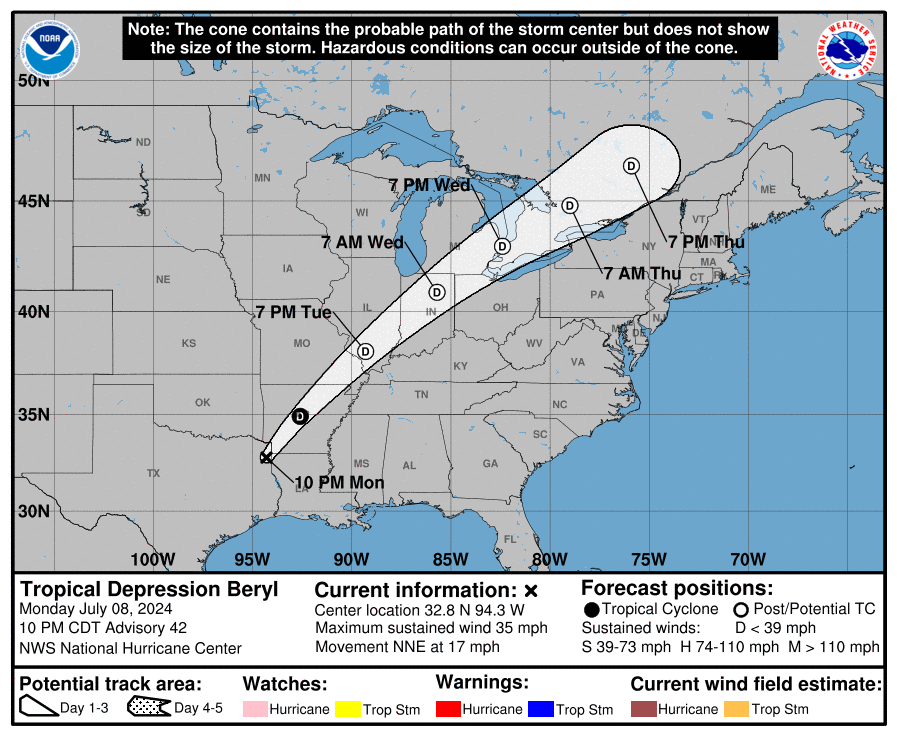
Hurricane Beryl Probably Path